About me:
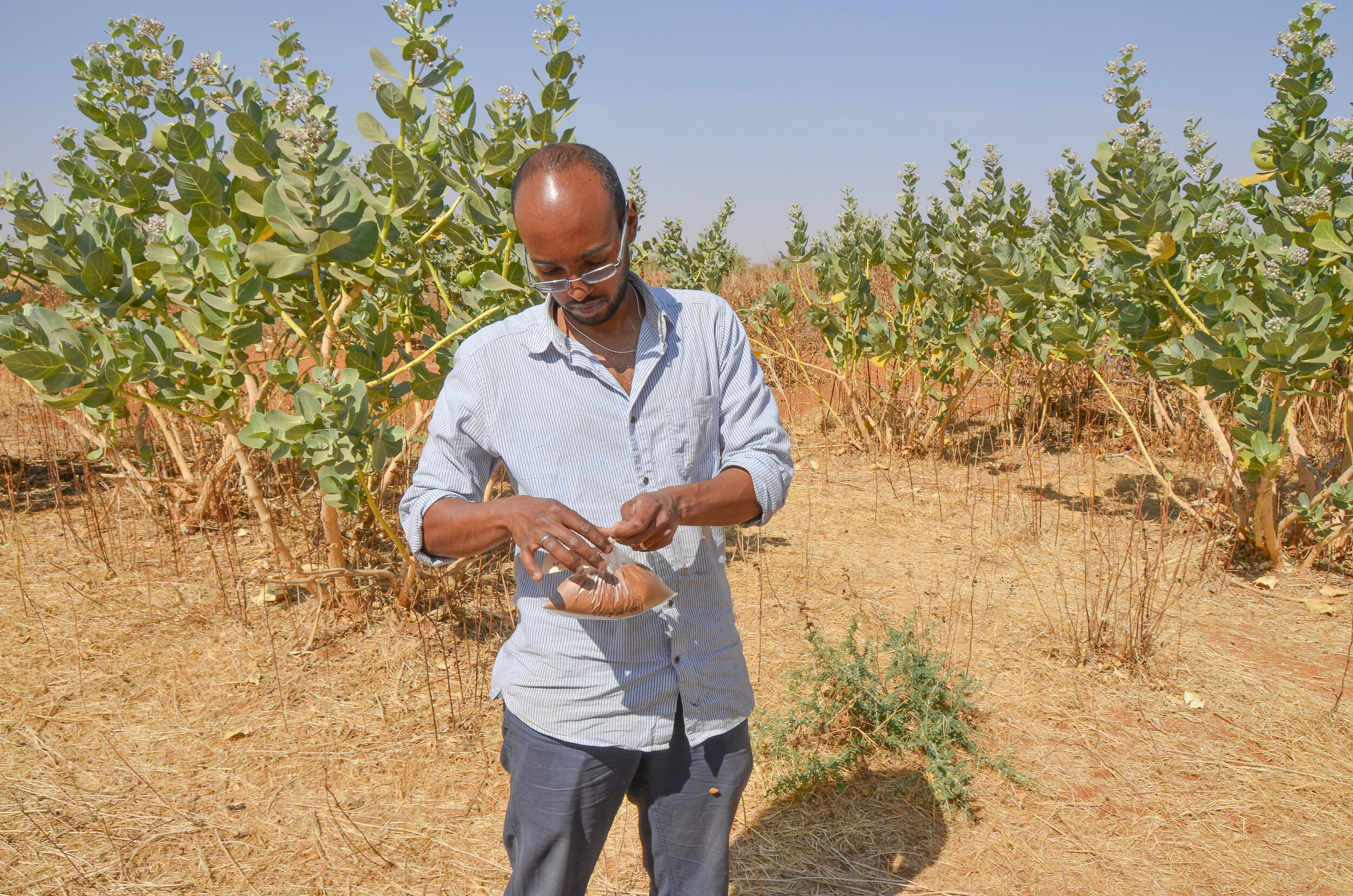
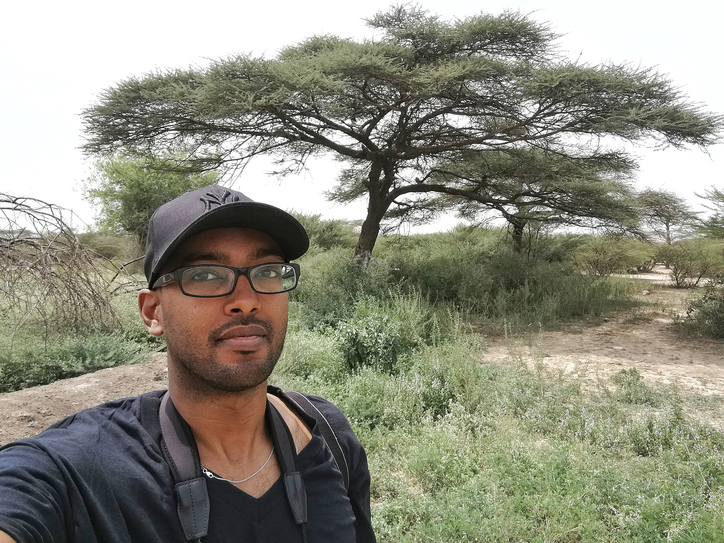
My name is Abdulhakim Mohamed Abdi - I am a geographer and environmental scientist and my work focuses on the interaction between natural systems and human activity. I am currently a senior researcher at Lund University’s Centre for Environmental and Climate Science, and my research addresses the challenges of understanding and managing landscapes in the context of climate change and biodiversity conservation. The tools I use tools include remote sensing, machine learning, and spatial analysis to explore how human activities influence and are influenced by natural ecosystems.
I hold a PhD (2017) in Geobiosphere Science from Lund University in Sweden. My dissertation examined primary production in African drylands and integrating Earth observation data with socio-ecological analysis. My academic background includes an MSc (2010) in Geospatial Technologies, earned through an Erasmus Mundus joint program in Portugal, Spain and Germany, and a BSc (2007) in Environmental Geoscience from Montclair State University in the United States. This education enabled me to approach environmental challenges from multiple perspectives, integrating physical geography, geoinformatics, and ecosystem analysis.
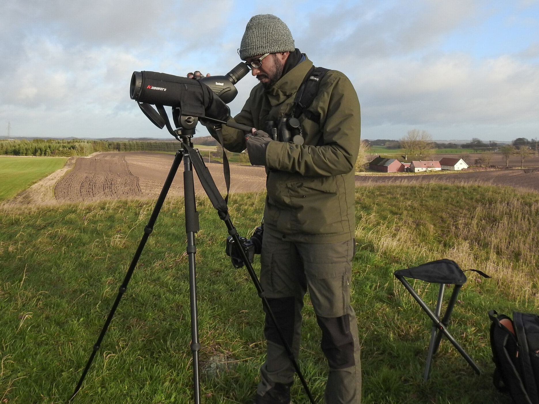
A significant focus of my research is the application of geospatial technologies to address practical environmental concerns. I have worked extensively on biodiversity monitoring, particularly in forest ecosystems, using advanced remote sensing methods such as satellite imagery. My current research project is on mapping tree species composition in southern Sweden to support conservation efforts using machine learning and high-resolution geospatial data.
My research portfolio includes over 34 peer-reviewed publications, with topics ranging from land-use classification in boreal forests to the impacts of climate variability on vegetation in dryland regions. My work is often interdisciplinary, involving collaboration with experts in ecology, climate science, and social sciences to address complex environmental issues. And I have contributed to studies on topics such as vegetation-rainfall sensitivity, the supply and demand of net primary production, and the human-climate-environment nexus, providing valuable insights into the dynamics of ecosystems under stress.
In addition to research, I am an active educator. I teach courses in GIS and environmental monitoring at Lund University, including modules on both introductory and advanced geospatial methods. I emphasize hands-on learning and critical thinking to ensure that students develop the skills needed to analyze environmental data and contribute to sustainable management practices. I have also supervised numerous undergraduate, master’s, and doctoral students, supporting their academic and professional development. My approach to research and education is rooted in interdisciplinary collaboration and practical application. I integrates data-driven analysis with an understanding of socio-ecological dynamics to contribute to sustainable landscape management in the face of rapid environmental change.
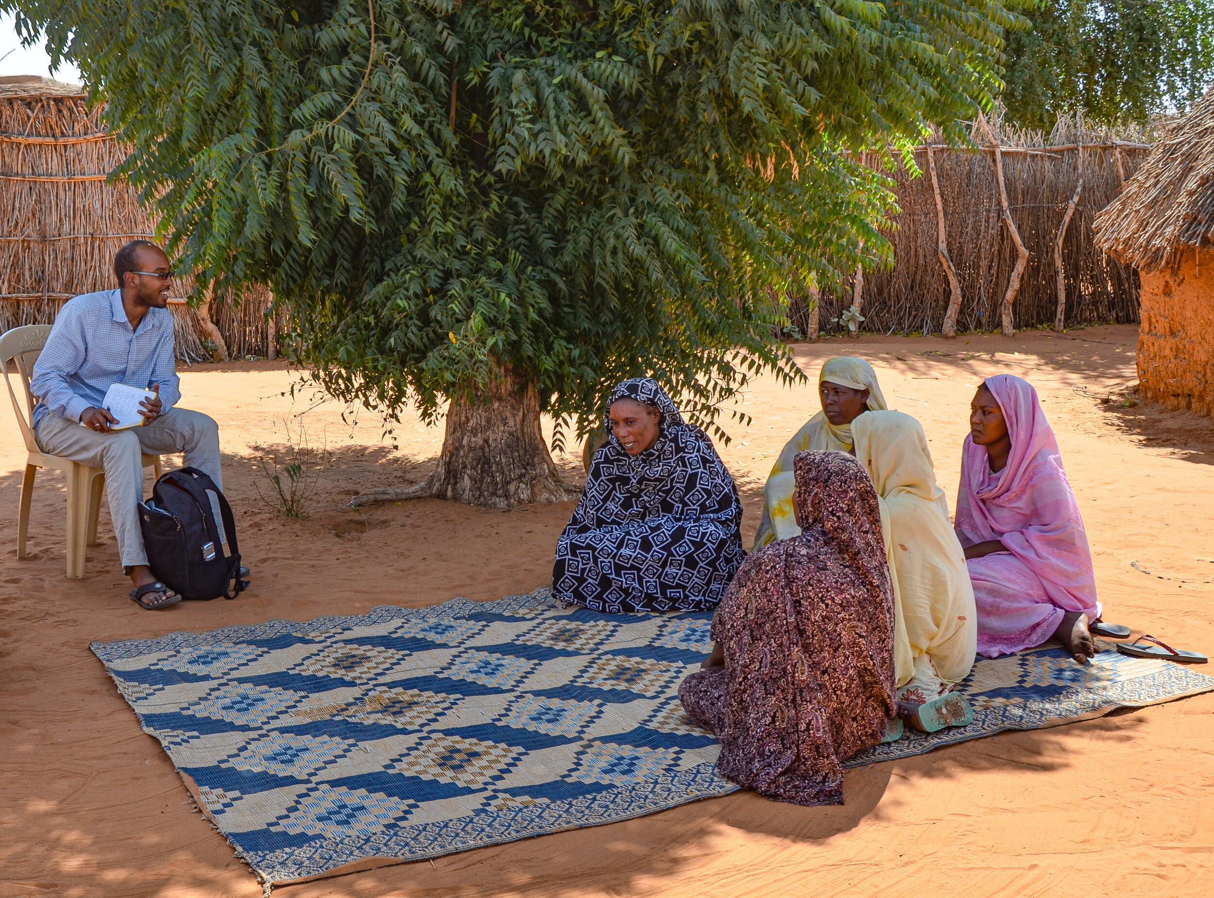
International collaboration and mobility is a key part of my research portfolio. I have held positions and conducted research in Denmark, the United States, and Somaliland, contributing to diverse projects that address global challenges such as regional drought impacts on vegetation, land productivity in West Africa, landscape-scale conservation of migratory species, and local-scale perceptions of environmental change.
I am currently one of the editors of the journal Cambridge Prisms: Drylands and have served as an associate editor for Remote Sensing in Ecology and Conservation for six years. Additionally, I have reviewed manuscripts for leading journals like Nature and Science Advances and evaluated research proposals for national agencies, including the German Research Foundation and NASA.
I am committed to making scientific knowledge accessible to broader audiences. I have delivered talks at events like TEDx and served on panel discussion at the international events such as the Gothenburg Book Fair, discussing topics such as Earth observation, biodiversity monitoring and the role of artificial intelligence in environmental conservation. My work has also been featured on Swedish Television, highlighting the application of advanced technologies to forest mapping and ecosystem management.
For more information about my work, publications, and ongoing projects, you can send me a message using the contact form or find me on LinkedIn. A list of my publications can also be found on Google Scholar or ORCID.


