

Interview with Swedish Television about mapping forests in Sweden
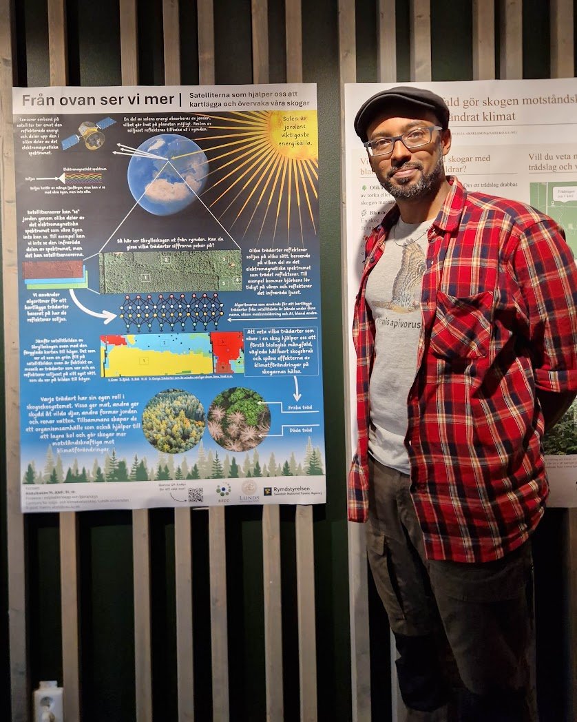
On August 15th, I was interviewed by Swedish Television (SVT) about my work on mapping tree species in Sweden. The interview took place at one of my field sites in Skåne while we (the field staff and I) conducted measurements at a survey location. We were with the journalist for about a hour and I spoke about a range of topics related to the project and why we were conducting fieldwork.
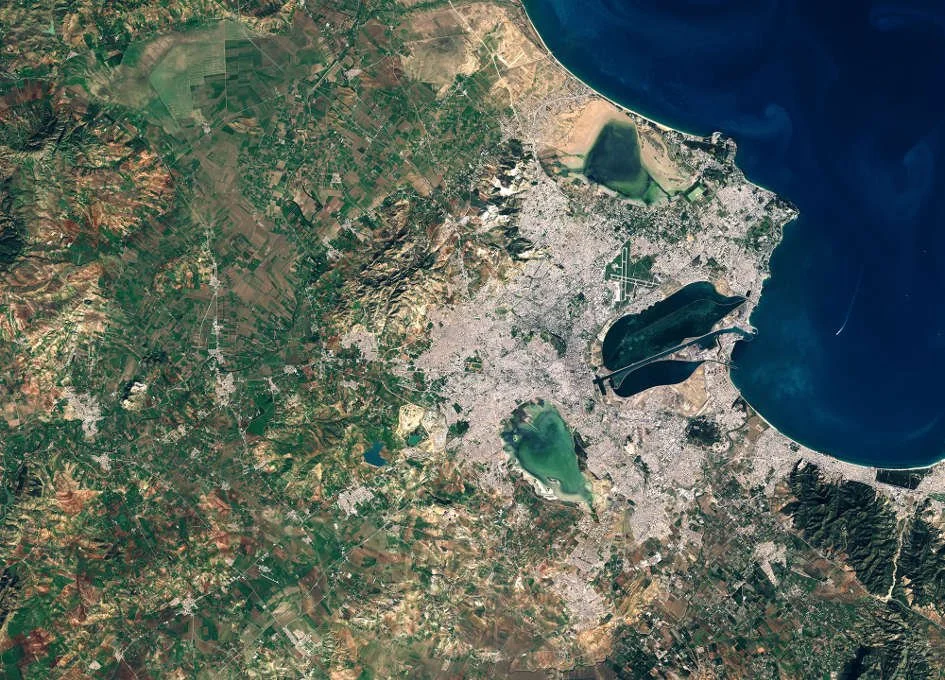
Behind the Paper: Satellite remote sensing and landscape metrics to characterize IBAs and aid the conservation of migratory birds
The conservation of species within Important Bird and Biodiversity Areas (IBAs) is critical, particularly in regions like Tunisia where wetlands serve as vital habitats for a wide array of waterbird species, including several that are globally threatened. In our recently published study on the conservation of wintering waterbirds within IBAs in Tunisia, we leveraged cutting-edge satellite remote sensing techniques to unravel the intricate dynamics between landscape structure and waterbird communities. This research is particularly novel as it integrates remote sensing data to assess the influence of wetland characteristics and surrounding landscape composition on bird habitats.

Throwback: Breaking New Ground in Boreal Landscape Classification with Machine Learning
Back in 2020, I published a paper in the journal GIScience & Remote Sensing entitled "Land cover and land use classification performance of machine learning algorithms in a boreal landscape using Sentinel-2 data". The paper has so far garnered 472 citations according to Google Scholar and 41,536 downloads, highlighting its relevance and utility in the scientific community. Since this paper is steadily marching towards the 500-citation mark, I decided to revisit it, highlight its importance, and explore why it has been so popular.
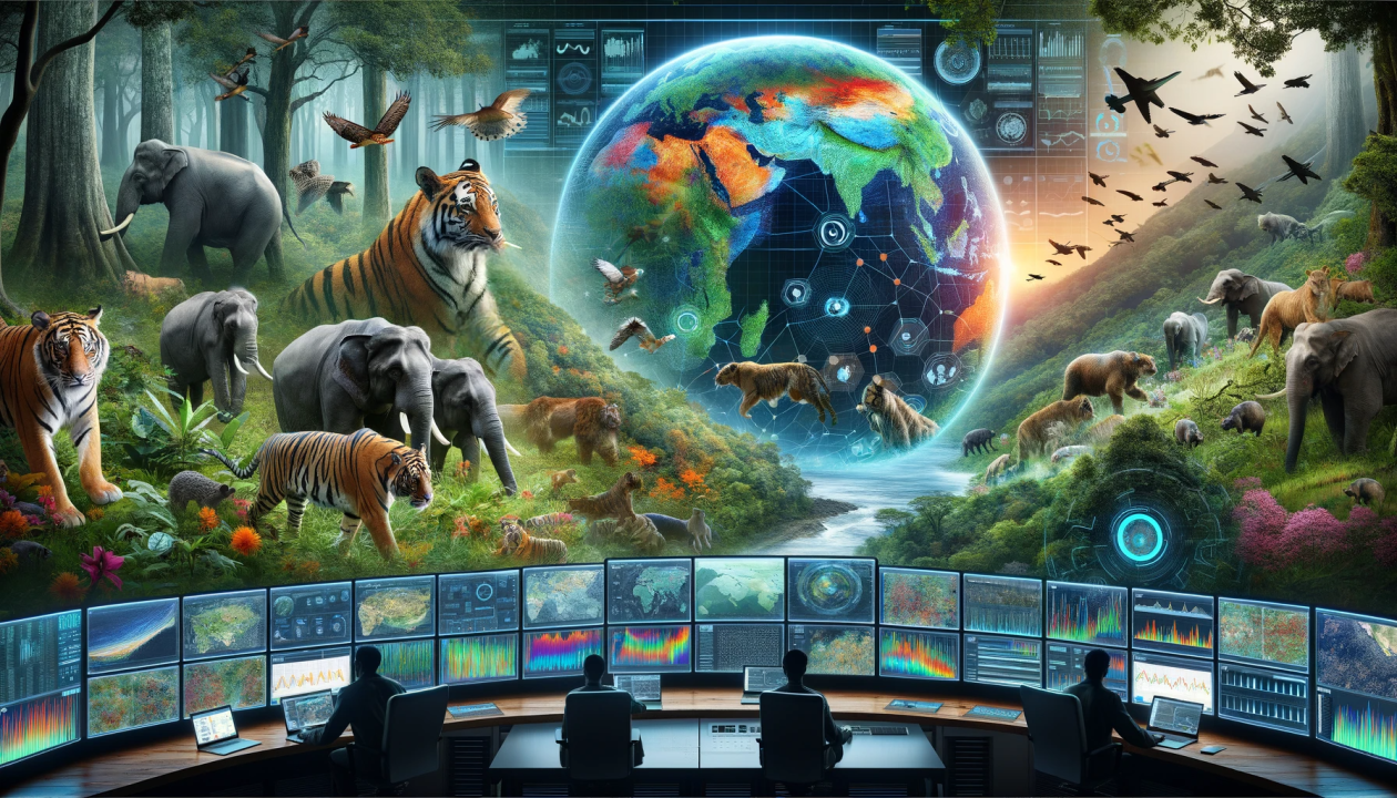
Remote sensing and AI – Opportunities for biodiversity conservation and nature management?
I was recently invited to talk about how remote sensing observations and data from Swedish national monitoring programs can be integrated with AI for biodiversity conservation and nature management. This talk is part of the a lecture series on functional landscapes in Sweden hosted by LU Land - a collaboration platform on land use for a sustainable future, hosted at the Center for Environmental and Climate Science, Lund University.
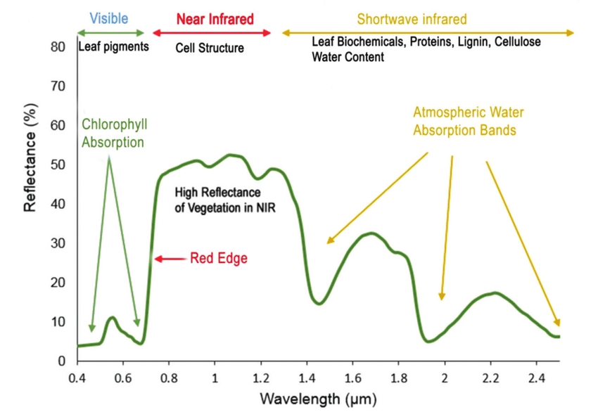
Birth of the Normalized Difference Vegetation Index (NDVI) and the paradigm shift in satellite remote sensing of the environment
Most students of remote sensing know that the birth of satellite-derived Normalized Difference Vegetation Index (NDVI) dates back to the 1970s. In 1972, the Earth Resources Technology Satellite-1, ERTS-1 (later renamed Landsat 1) was the first Earth observation satellite designed to monitor and study the planet's landmasses. It carried a Multi-Spectral Scanner (MSS) that provided data in several spectral bands, which were crucial for developing vegetation indices.

Macroscopes on Earth – Why we live in the golden age of satellites
As most of us know, our planet is changing on several fronts such as climate change, polluted oceans, biodiversity declines, land degradation, and so on. But Earth is a big place and keeping tabs on these changes is huge task. There is currently one tool at our disposal that can provide us with the big picture about the health of our planet. That tool is the system of satellites that observes Earth day and night.
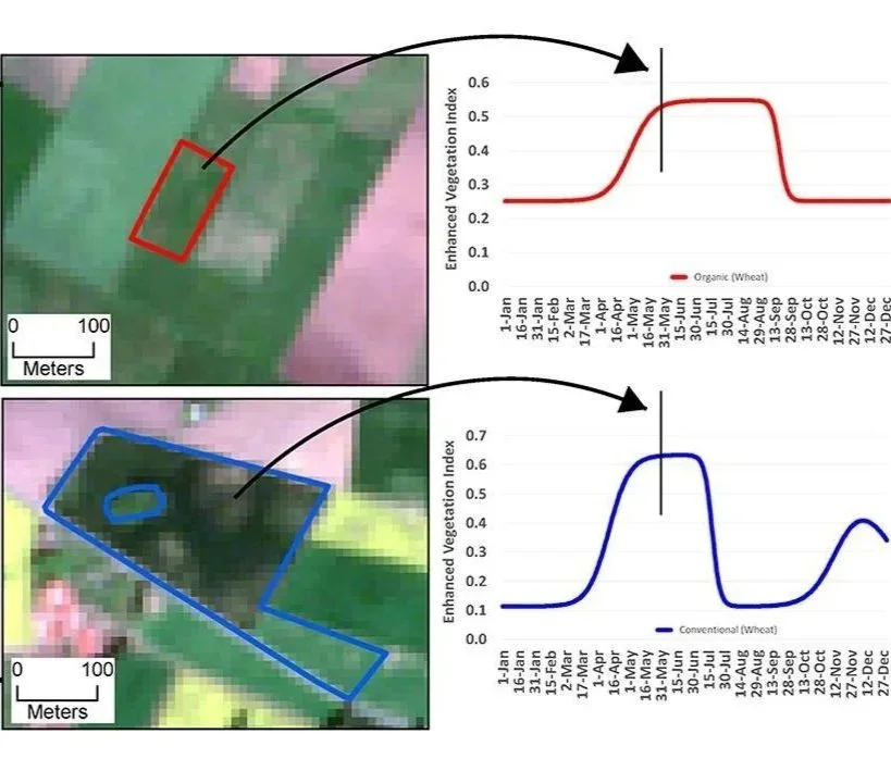
How we “observe” biodiversity from space
Biodiversity is a complex term but it essentially encompasses life in all its variety, ranging from individual genes to entire ecosystems. The legendary biologist Edward O. Wilson defines biodiversity as “the totality of all inherited variation in the life forms of Earth”. The loss of biodiversity due to human activities and its negative effect on ecosystems are well documented.
To communicate or not to communication science
Should scientists be concerned if their research output is inaccessible to non-experts? Put another way, should scientists make an effort to communicate their science to the wider public? I posed these questions to a group of graduate students and postdocs and the feedback was mixed. On the one hand, there were legitimate concerns about the time and skill needed to “translate” complex science into an accessible language. On the other hand, there was strong support for science communication as part of a scientist’s moral and professional duty.

Ten years in Sweden
At 7am on October 16 2012, I was on board SAS Flight 910 from Newark that landed at Copenhagen Airport. I was ready to begin a PhD at Lund University. I didn’t know much about Sweden except the usual stereotypes, for example it’s a rich country with happy people, lots of nature, and a generous welfare state.

Behind the Paper: Observing savannas from space
Our recent research delves into the cutting-edge applications of remote sensing to monitor and understand savanna ecosystems. This work highlights how these techniques can unravel the intricate interactions within these landscapes, offering new perspectives on conservation and sustainable management.
