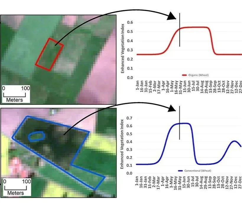

How we “observe” biodiversity from space
Biodiversity is a complex term but it essentially encompasses life in all its variety, ranging from individual genes to entire ecosystems. The legendary biologist Edward O. Wilson defines biodiversity as “the totality of all inherited variation in the life forms of Earth”. The loss of biodiversity due to human activities and its negative effect on ecosystems are well documented.

Behind the Paper: Observing savannas from space
Our recent research delves into the cutting-edge applications of remote sensing to monitor and understand savanna ecosystems. This work highlights how these techniques can unravel the intricate interactions within these landscapes, offering new perspectives on conservation and sustainable management.
