
Behind the Paper: Satellite remote sensing and landscape metrics to characterize IBAs and aid the conservation of migratory birds
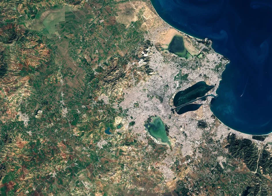
The conservation of species within Important Bird and Biodiversity Areas (IBAs) is critical, particularly in regions like Tunisia where wetlands serve as vital habitats for a wide array of waterbird species, including several that are globally threatened. In our recently published study on the conservation of wintering waterbirds within IBAs in Tunisia, we leveraged cutting-edge satellite remote sensing techniques to unravel the intricate dynamics between landscape structure and waterbird communities. This research is particularly novel as it integrates remote sensing data to assess the influence of wetland characteristics and surrounding landscape composition on bird habitats.

How we “observe” biodiversity from space
Biodiversity is a complex term but it essentially encompasses life in all its variety, ranging from individual genes to entire ecosystems. The legendary biologist Edward O. Wilson defines biodiversity as “the totality of all inherited variation in the life forms of Earth”. The loss of biodiversity due to human activities and its negative effect on ecosystems are well documented.

Behind the Paper: Observing savannas from space
Our recent research delves into the cutting-edge applications of remote sensing to monitor and understand savanna ecosystems. This work highlights how these techniques can unravel the intricate interactions within these landscapes, offering new perspectives on conservation and sustainable management.

Somaliland Scoping Trip
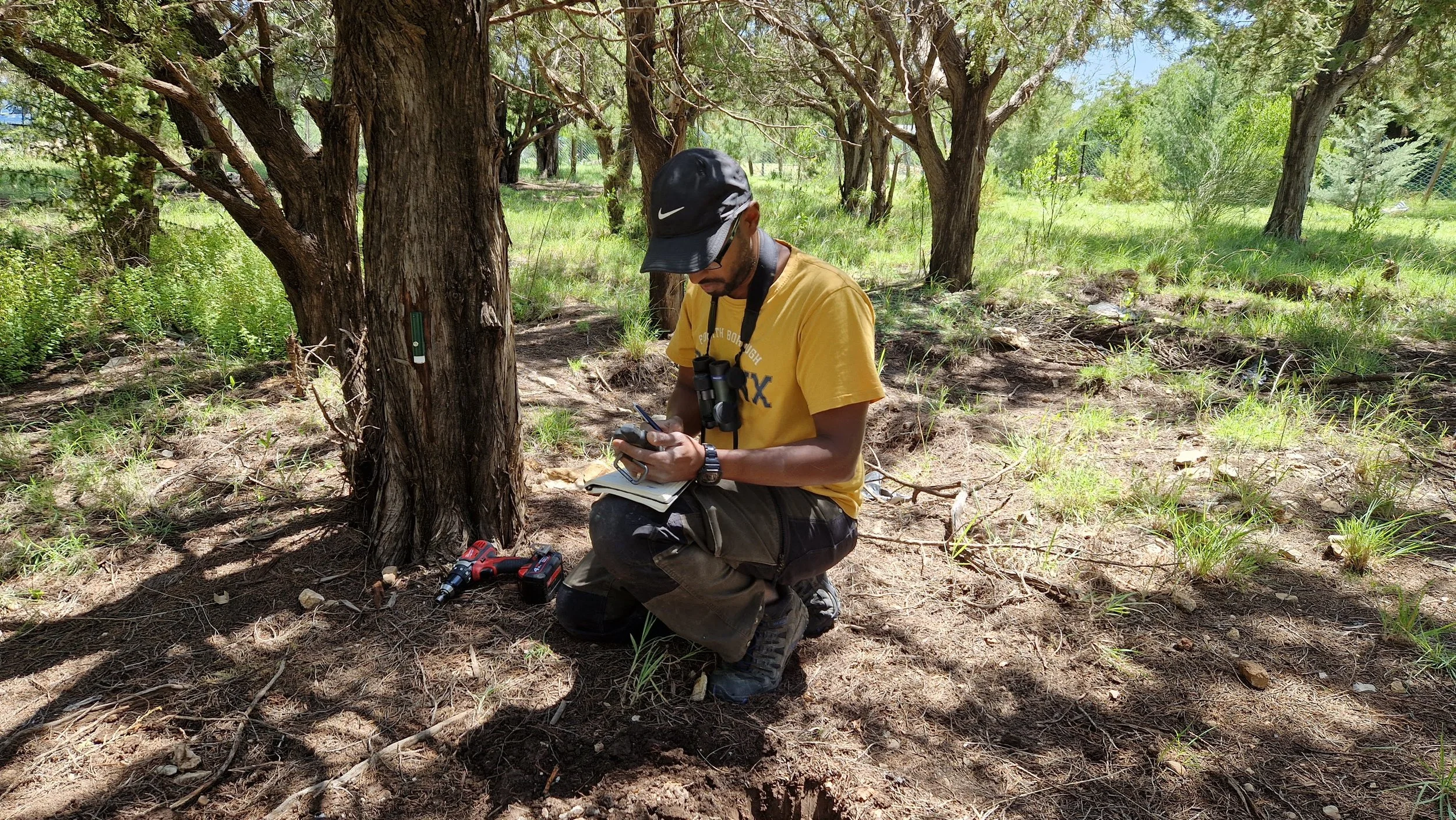
In March 2022, I took a scoping trip to central Somaliland to inspect possible locations for a pilot network of autonomous environmental sensors to provide baseline information on microclimate in this data-deficient region.
New milestone: My paper is now the most read and cited
This is an exciting milestone for me. As of December 13th, my open access study on the Land cover and land use classification performance of machine learning algorithms in a boreal landscape using Sentinel-2 data that was published in 2020 is the most read (22,885) and most cited (101) paper in the journal GIScience & Remote Sensing.
Profile in a Swedish popular science magazine
Back in January, I had the opportunity to be interviewed by the Swedish popular science magazine Populär Astronomi about my research in Earth observation.
Tutorial: Machine learning classification of Sentinel-2 satellite imagery using R [Updated]
Note: This tutorial was updated on April 20th, 2020 based on reader feedback.
In this short post, I would like to help you conduct your own machine learning classification of Sentinel-2 data using the open source package R. The process is pretty straightforward if you have experience in remote sensing and image classification. Even if you don’t have extensive experience, basic knowledge of remote sensing terminology is sufficient.
Behind the Paper: Comparing machine learning algorithms using Sentinel-2 data
The field of machine learning is moving fast, and it seems that new fancy algorithms coming out every week. Sometimes, it is confusing to figure out which algorithms are best suited for which purpose. This is particularly the case when it comes to land-use and land-cover classification using multidimensional satellite imagery because most of the new algorithms are tested with either binary or uni-dimensional data.
Behind the Paper: Combining science and art to understand environmental change
A couple of years ago, my colleague and friend Emma Li Johansson approached me with an interesting proposition. Her idea was that the combination of remotely-sensed land cover and and land use change maps and participatory paintings of people’s perceptions of land change might provide useful information in understanding the drivers of change. She didn’t have to say any more because I was sold. It was a solid idea with an innovative interdisciplinary workflow and high potential to provide valuable outcomes.
Behind the Paper: Testing a new satellite-derived vegetation index in a new biome
The last chapter of my PhD dissertation was published earlier this year in the International Journal of Applied Earth Observation and Geoinformation. From conception to publication, this paper took about two-and-a-half years of work. It signifies the end of my PhD era, so to speak. The idea came from my supervisor, who suggested that testing the relatively new Plant Phenology Index (PPI) in semi-arid biomes would be a worthwhile cause because its only been evaluated in the boreal biome.
