
Behind the Paper: Satellite remote sensing and landscape metrics to characterize IBAs and aid the conservation of migratory birds
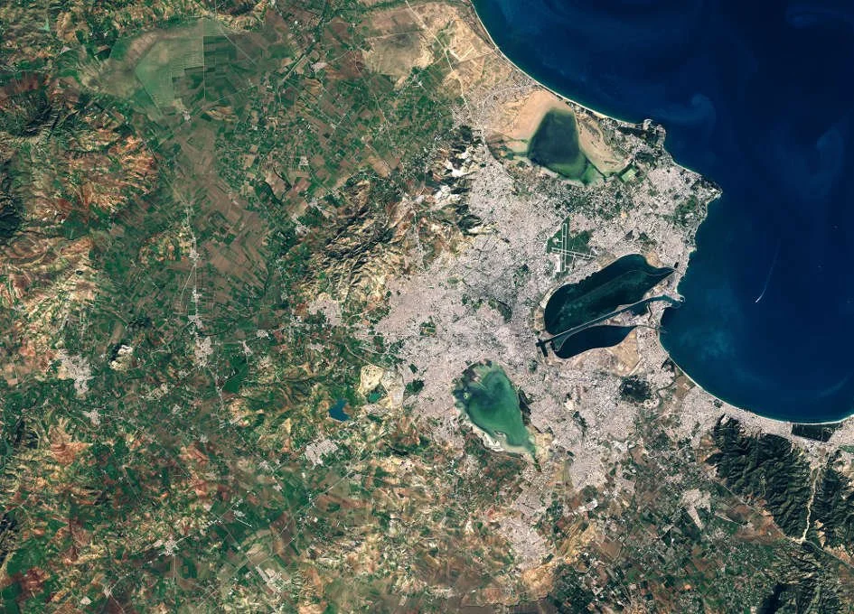
The conservation of species within Important Bird and Biodiversity Areas (IBAs) is critical, particularly in regions like Tunisia where wetlands serve as vital habitats for a wide array of waterbird species, including several that are globally threatened. In our recently published study on the conservation of wintering waterbirds within IBAs in Tunisia, we leveraged cutting-edge satellite remote sensing techniques to unravel the intricate dynamics between landscape structure and waterbird communities. This research is particularly novel as it integrates remote sensing data to assess the influence of wetland characteristics and surrounding landscape composition on bird habitats.

Behind the Paper: Observing savannas from space
Our recent research delves into the cutting-edge applications of remote sensing to monitor and understand savanna ecosystems. This work highlights how these techniques can unravel the intricate interactions within these landscapes, offering new perspectives on conservation and sustainable management.
Test pixelwise correlation between two time series of gridded satellite data in R
Satellite time series data are useful for studying biophysical how variables change over time and understanding what causes those changes. Recently, I was looking into correlating two time series datasets over Africa to look at the relationship between net primary production (NPP) and rainfall. After a futile attempt to find an “out-of-the-box” software package that does this, I created an R function to speed things up.
